Phu Kradueng National Park (อุทยานแห่งชาติภูกระดึง), located in the Phu Kradueng mountain area in Loei Province. It is one of the most famous national parks of Thailand, with a high point of 1316 m (4318 ft) above sea level. Every year tens of thousands of people come to make the climb up this famous mountain.
Pu (ภู) comes from the Thai word Pukao (ภูเขา), meaning ‘mountain’. The name Kradueng (กระดึง), or Krading (กระดิ่ง) in the local dialect of Loei Province, can be translated as Rakhang Yai (ระฆังใหญ่), meaning a large bell. This name comes from a legend relating to a Buddhist holiday. During the holiday many of the towns people heard the sound of a large bell.

The Main Trail to the top
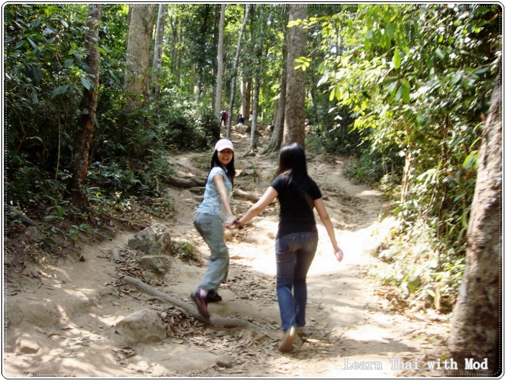
This is a very old and historic trail about 5.5 km in length, climbing the southeastern flank of the mountain. It starts from the main park office in Amphoe Phu Kradueng, at an elevation of about 300 m. There are many places to rest on the way up. These rest plateaus are called Sam (ซำ). At each rest area there are several vendors selling food and drinks, and some provide toilet facilities and/or medical services as well. There are eight of these on the way up. In order of ascent, they are:
- Sam Haek (ซำแฮก) – This rest area is located approximately 1000 metres from the starting point, on an intermediate plateau immediately above a very steep section of the trail. Most Thai visitors believe the word haek (แฮก) means “to be out of breath”, “to pant”, because of its resemblance to the sound made when out of breath. However, the real meaning is sacred or holy object in the local dialect.
- Sam Bon (ซำบอน) – This rest area is approximately 700 metres from Sam Haek.
- Sam Kok Kork (ซำกกกอก) – This rest area is approximately 440 metres from Sam Bon.
- Sam Ko Sang (ซำกอซาง) – This rest area is approximately 200 metres from Sam Kok Kork.
- Sam Kok Wa (ซำกกหว้า) – This rest area is approximately 580 metres from Sam Ko Sang.
- Sam Kok Phai (ซำกกไผ่) – This rest area is approximately 460 metres from Sam Kok Wa.
- Sam Kok Don (ซำกกโดน) – This rest area is approximately 300 metres from Sam Kok Phai.
- Sam Khrae (ซำแคร่) – This rest area is approximately 450 metres from Sam Kok Don.
The last 1300 metres from Sam Khrae to the top is the hardest and steepest part of the hike. There are ladders and ramps at parts where it would otherwise be impossible to walk. Once reaching the highest point of the trail (1288 m elevation) at the edge of the summit plateau, it is still a 3.6 kilometre walk over flat terrain to the Wang Kwang visitor center and campsite, where tents and lodging buildings are available.
I started my walk at around 7 a.m. and reached the campsite at around 1 p.m. It was the longest walk of my life!!

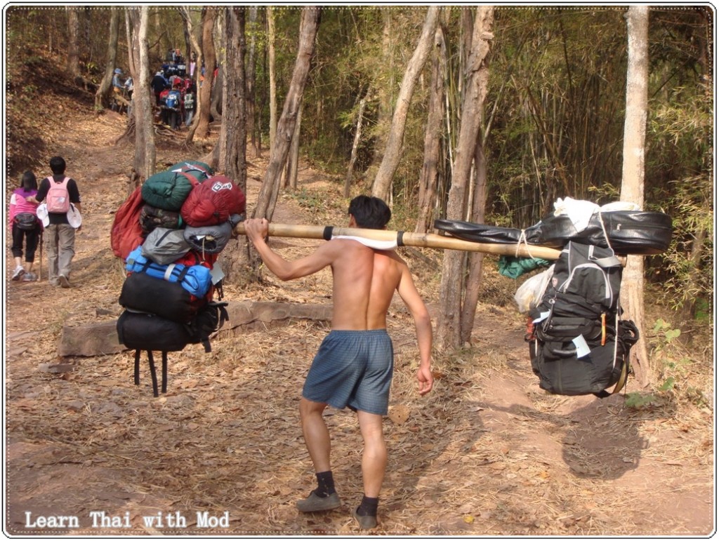
Many climbers hire porters to carry their belongings to the top of the mountain for them. I also did, I don’t think I would be able to reach the top if I had to carry all the luggage myself.
Nowadays, Pu Kradueng is extremely popular with young Thais, particularly university students. Accommodation on the mountain is hundreds of canvas tents available for rent.
The park is closed to visitors during the rainy season (1 June – 30 September).
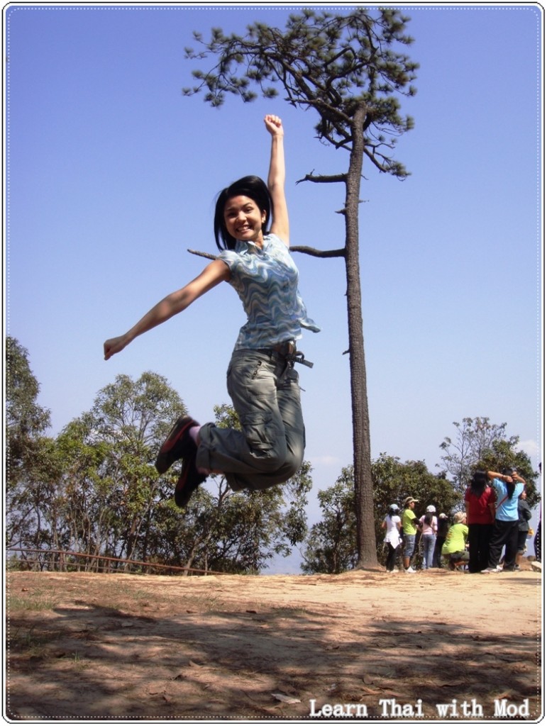
It is one of the great trip I will never forget, although I could not feel my legs few days after the trip.You should try it too:)
* If you search the internet you will find the word mountain written as ‘phu’, but it is actually pronounced without ‘h’. I would write ‘pu’ (ภู), but in case you want to search for more information so I will keep the common spelling.
Info Source: http://en.wikipedia.org/wiki/Phu_Kradueng_National_Park


Hi can I check if I need to book the tents or accommodation or get the permit to enter before the trip! Or all this can be arranged on the spot?
Would there be a chance where there are not enough to accommodation?
We are visiting in March 2016 ! Thank you 🙂
Hi Irin, apologies for the delay in my response. I hope you had a great time visiting the national park. 🙂
Hi Mod,
I’ve seen your wonderful trip here in Phu Kradueng National Park. I would like to ask if there’s a required guide going to this mountain? If yes, are they able to speak english? My wife and I would like to try this mountain. But we’re not Thai and has limited to speak and understand Thai language.
Looking forward for more tips in visiting Loei Province.
Thank you in advance!!
Sawatdee ka Mon , there is no need for a guide. There is only one track going up to the top, and it is very easy to go around on the plain. Have a good trip! 🙂